How to approximate the Flood polygon created in InfoSWMM RAM by using Arc Toolbox
How to approximate the Flood polygon created in InfoSWMM RAM by using Arc Toolbox and Subcatchment Manager Tools
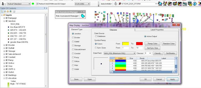
Step 1 – Run InfoSWMM and use Map Display to show the Maximum HGL. This is just for reference to the later created polygons.
Step 2 – not needed but as a check to Steps 3 to 5. Use InfoSWMM RAM to show the area flooding based on the Maximum head or HGL. This is an approximation of the flooding you would show with have with InfoSWMM 2D. The maximum HGL is intersected with the DEM or TIN and the DEM elevations below the Maximum HGL are shown in Blue.
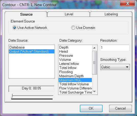
Step 3 – Create a contour based on the Maximum HGL in the InfoSWMM run. Use Contour in the InfoSWMM Browser to create the contour. 

Step 5 – Use the Polyline to Raster Arc Toolbox command to make a Raster from the Contour
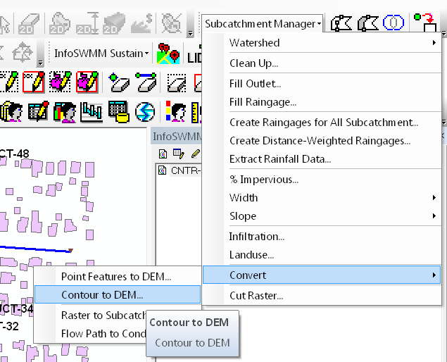
Step 6 – Optionally you an create a Raster using Convert in the InfoSWMM Subcatchment Manger. The tool creates a DEM from a Contour

Step 7 – Use the CutFill tool in Arc Tool box to find the cut and fill sections of your two Rasters. The Raster created from the Maximum HGL should be 1st.
Step 8 – The Cut Fill created Raster shows are areas in RED where the RASTER is ABOVE the Maximum HGL and Blue, where the RASTER is Below the Maximum HGL.


Comments
Post a Comment